Detail & Level Surveys in Melbourne
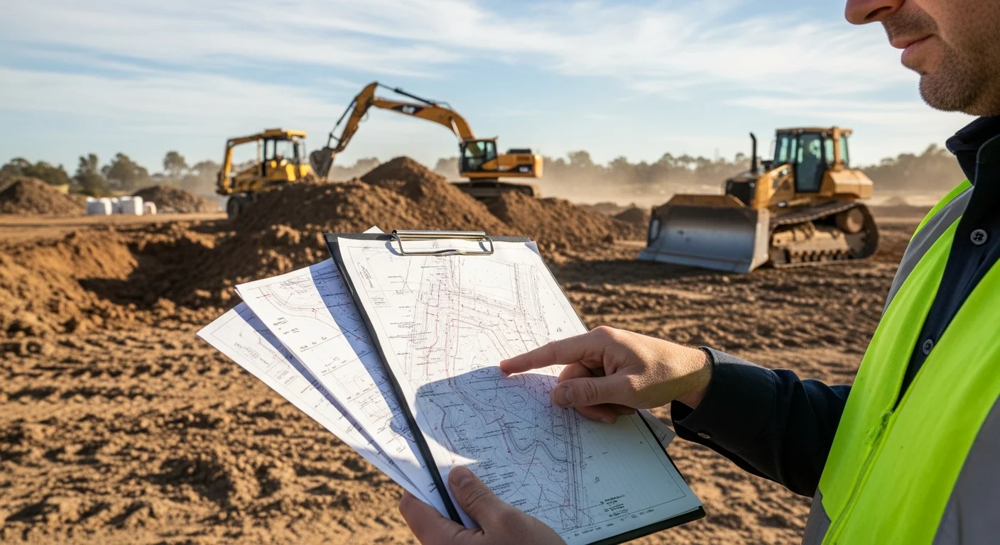
A Detail & Level Survey (also known as a Feature & Level Survey) is an essential land survey used for construction, town planning, and development applications. It provides detailed information about the existing features, contours, and levels of a site.
- Free Professional Counsel & Proposal
- Cutting-Edge GIS, GPS & Laser Technology
- 100% Satisfaction Guarantee
Get Your Free Quote
Fill out the form below and we'll get back to you within 24 hours.
Feature & Level Surveys
A Detail & Level Survey is required for council approvals, ensuring accuracy in building plans, providing crucial site data for land reconfiguration, and supporting architectural and engineering design.
Site Contours & Elevations
Accurate mapping of land levels and contours for design purposes.
Existing Structures & Features
Location of all existing structures, trees, and improvements.
Underground & Overhead Services
Identification of service pits, power lines, and underground utilities.
Roads, Footpaths & Easements
Mapping of all roads, footpaths, and registered easements.
When Do You Need a Detail & Level Survey?
A Detail & Level Survey is required for development applications, architectural design, engineering projects, and any construction work where accurate site data is essential.
Our Survey Process
Site Visit
Our surveyors visit your property to gather all necessary data.
Data Collection
We use the latest GPS and surveying equipment to capture precise measurements.
Processing
Our team processes the data and creates detailed plans.
Delivery
You receive digital CAD files and PDF plans ready for your architect.
What You Receive
You will receive a digital PDF Survey Report signed by a registered surveyor.